NASA photos from the Artemis mission reveal astronauts using iPhones that display location data, raising questions about whether GPS works in space.
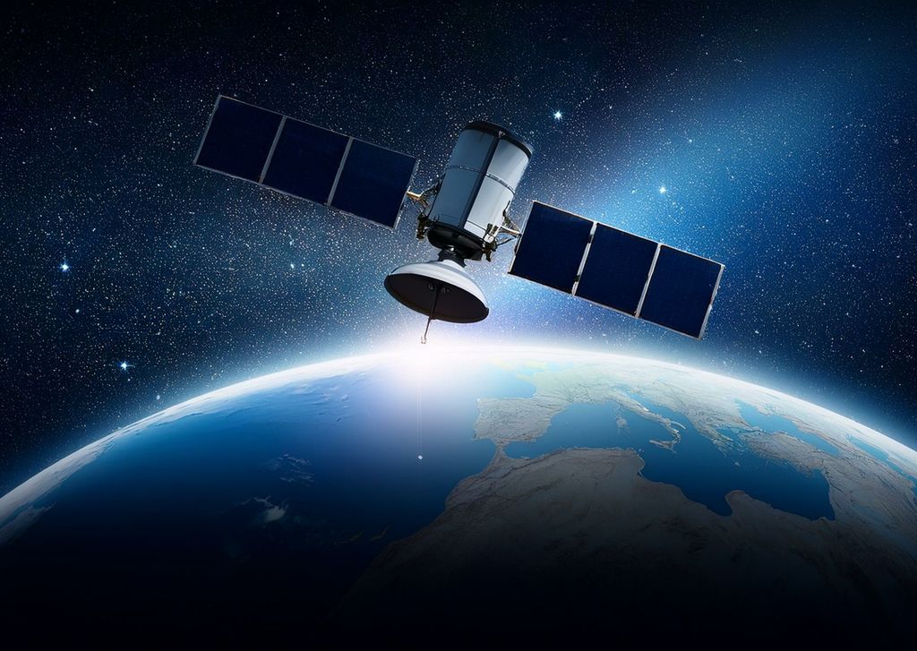
The Global Positioning System relies on a network of satellites orbiting Earth at approximately 20,000 to 23,000 kilometers altitude, transmitting timing and position data to receivers on the ground.
These signals can be received and used for navigation in low Earth orbit, including by the International Space Station, which orbits at about 400 kilometers where atmospheric interference is minimal.
Although, GPS effectiveness decreases with distance from Earth because satellite antennas are primarily angled toward the planet, making signals weak or unusable above the satellite constellation.
commercial smartphones include an artificial altitude limit in their GPS technology that activates at 18 kilometers to prevent potential misuse in ballistic missiles, a restriction that would trigger well before reaching space.
Despite these limitations, NASA is developing specialized receivers for lunar navigation, as demonstrated by the Lunar-GNSS Receiver Experiment (LuGRE), which successfully acquired GPS-like signals during transit to the Moon.
How GPS signals behave in space and on the Moon
GPS signals weaken significantly beyond the satellite orbit due to the directional nature of the antennas, which focus transmissions toward Earth rather than into deep space.

At lunar distances, about 384,000 kilometers from Earth, standard GPS receivers cannot lock onto enough satellites to calculate a position, though scattered signal side lobes may be detectable with sensitive equipment.
The LuGRE experiment confirmed that modified receivers can detect and process these faint signals, enabling basic navigation support near and on the Moon without requiring a dedicated lunar positioning system.
Why smartphones don’t show accurate location in space
Even if GPS signals were strong enough at altitude, consumer devices like iPhones are programmed to ignore location calculations above 18 kilometers, a hardcoded limit designed for regulatory compliance.
This means that any geo-tagging observed in photos taken aboard the ISS or during Artemis missions does not arrive from standard GPS functionality but likely from alternative methods such as pre-loaded maps, inertial sensors, or manual input.
The presence of location data in astronauts’ smartphone photos is therefore not evidence of operational GPS in deep space but reflects either device settings or supplementary tracking systems.
Can smartphones apply GPS on the International Space Station?
Yes, the ISS orbits at about 400 kilometers, well within the range where GPS signals are strong enough for standard receivers to function, and the station uses GPS for its own navigation.
Is there a GPS system on the Moon?
No, there is no operational GPS network on the Moon, but experiments like LuGRE show that Earth-based GPS signals can be detected and used for navigation with specialized receivers.
Weiterlesen