
The Scale of What Lies Hidden
The reservoir’s size is significant. At 5,000 cubic kilometers, it represents a meaningful fraction of the volume found in well-known volcanic systems like Yellowstone. Unlike those systems, however, the Tuscan reservoir does not produce surface expressions such as geysers or calderas. Instead, its presence is inferred through seismic data, which detected variations in wave speeds consistent with molten rock at depths of eight to fifteen kilometers.
The depth of the reservoir places it in a zone where pressure and temperature conditions differ from those in shallower magma chambers. The absence of surface volcanic activity in the region, despite its known geothermal heat, raises questions about the reservoir’s current state. Researchers suggest that the lack of visible signs may indicate a stable subsurface environment, though further study is needed to determine whether this stability is temporary or long-term.
How Seismic Noise Revealed the Invisible
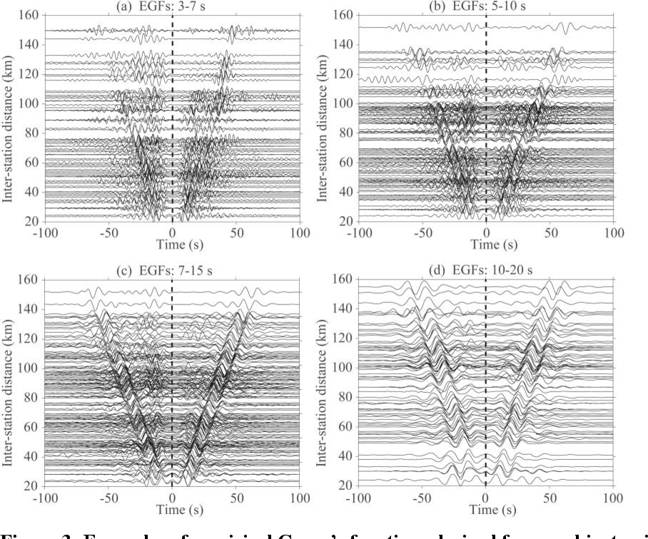
The discovery was made possible by seismic noise tomography, a technique that analyzes the Earth’s natural vibrations rather than relying on artificial seismic signals. Traditional methods involve sending controlled vibrations into the ground and measuring their reflections, but seismic noise tomography takes a different approach. It uses the planet’s ambient vibrations—generated by ocean tides, distant earthquakes, and even human activity—to construct a detailed image of subsurface structures.

The method relies on the principle that seismic waves slow down when passing through molten rock. By deploying over sixty sensors across Tuscany and measuring wave speeds between them, researchers created a three-dimensional map of the subsurface. Areas where waves traveled more slowly indicated the presence of magma. The results revealed a reservoir far larger than expected, demonstrating the technique’s ability to detect hidden geological features in regions without obvious surface clues.
While seismic noise tomography has been used in other contexts, its application in Tuscany highlighted its effectiveness in areas where traditional methods might fail. The absence of surface volcanic activity meant that the reservoir could only be identified by listening to the Earth’s faintest signals, requiring both precision and patience.
Geothermal Promise and Volcanic Uncertainty
The discovery has dual implications. On one hand, it provides new context for Tuscany’s geothermal activity. The region’s high heat flow, long utilized for energy production, may be influenced by the reservoir’s presence. The Larderello geothermal field, one of the world’s oldest, could derive some of its productivity from this subsurface heat source, potentially supporting Italy’s renewable energy goals.
On the other hand, the reservoir’s size introduces questions about long-term volcanic risk. Though there are no signs of an imminent eruption, the volume of magma at depth warrants further investigation. Magma in such environments can remain stable for extended periods, but the lack of historical eruptions in the region complicates risk assessments. Scientists must determine whether the reservoir is a remnant of past activity or a dormant system with future potential for movement.
The discovery also challenges conventional volcanic monitoring, which typically relies on observable signs such as ground deformation or gas emissions. Tuscany’s reservoir, undetectable through surface observations alone, underscores the need for advanced techniques like seismic noise tomography to identify hidden magma bodies. This suggests that other significant subsurface features may exist elsewhere, undetected until similar methods are applied.
The Next Frontier: What We Still Don’t Know
The reservoir’s identification marks the beginning of a new phase of research. A key question is whether the magma is actively being replenished or gradually cooling. If deeper sources are feeding the reservoir, the potential for future volcanic activity—though likely remote—would increase. If the system is closed, the geothermal energy potential may be limited, affecting long-term energy planning.
Monitoring efforts are expected to expand. The sensors used in the initial study will likely remain in place to track changes in wave speeds, which could indicate shifts in the reservoir’s state. Researchers will also watch for subtle signs of crustal stress, such as microseismic activity or minor deformations, that might suggest movement beneath the surface.
For now, the reservoir remains an enigmatic feature: a substantial source of both energy and potential risk, concealed beneath a landscape that gives no outward indication of its presence. The task for scientists is to study it without exaggerating its dangers or underestimating its significance.
As seismic monitoring techniques advance, the discovery raises broader questions about how many other hidden reservoirs might exist worldwide, waiting to be uncovered through improved detection methods.

